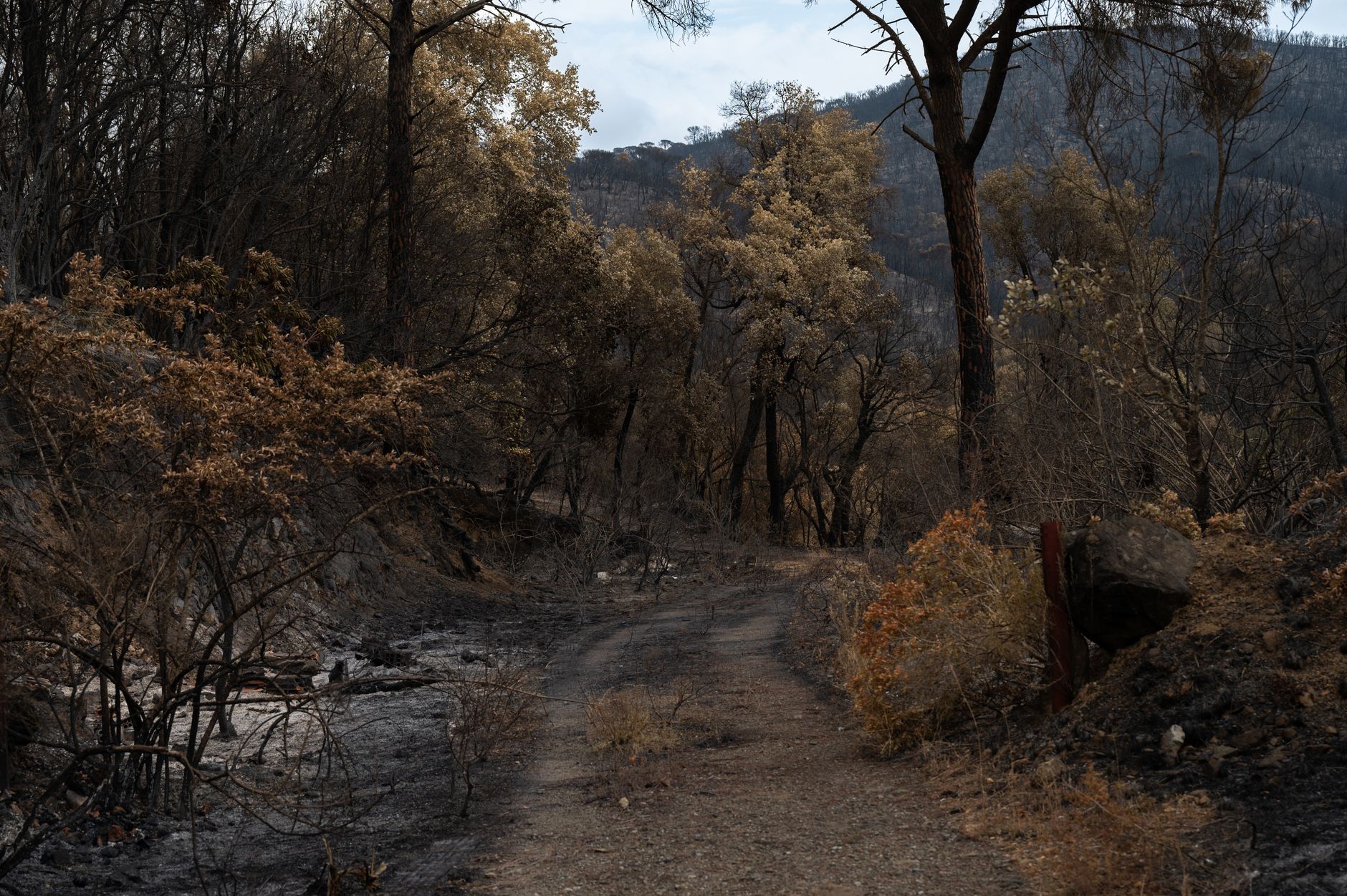
The wildfires afflicting communities across the world can now be tracked more easily by anyone using europe’s free and open satellite imagery service. Wildfire tracking has become increasingly important in recent years, with the european space agency’s sentinel satellites providing multi-spectral imaging at resolutions as granular as 10 meters in visible light and near-infrared bands. This technology has proven especially useful for wildfire monitoring, and the copernicus browser has made it even more accessible.
The copernicus browser provides free access to the latest satellite imagery taken by the european space agency’s sentinel satellites for the european union’s earth observation program. With the addition of a straightforward “wildfires” visualization layer for sentinel-2 imagery, anyone can now see active fires in white or yellow, burning vegetation in red, and burned landscapes in dark brown or black.
Wildfire Tracking: A Vital Tool
Wildfire tracking is a vital tool for communities affected by wildfires. By providing real-time information on the spread and impact of wildfires, this technology can help save lives and reduce damage to property. The copernicus browser’s new wildfire visualization layer is a significant step forward in this area, making it easier for anyone to access and use this information.
The sentinel-2 mission has proven especially useful for wildfire monitoring, with its multi-spectral imaging capabilities providing detailed information on the extent and severity of wildfires. The copernicus browser’s new visualization layer takes this information and presents it in a clear and easy-to-understand format, making it accessible to a wider range of users.
The Benefits of Wildfire Tracking
There are many benefits to wildfire tracking, including improved safety, reduced damage to property, and better decision-making. By providing real-time information on the spread and impact of wildfires, this technology can help emergency responders and other stakeholders make more informed decisions. Additionally, wildfire tracking can help identify areas at high risk of wildfires, allowing for proactive measures to be taken to prevent them.
- Improved safety: Wildfire tracking can help identify areas at risk of wildfires, allowing for evacuation and other safety measures to be taken.
- Reduced damage to property: By providing real-time information on the spread and impact of wildfires, this technology can help reduce damage to property and infrastructure.
- Better decision-making: Wildfire tracking can help emergency responders and other stakeholders make more informed decisions, reducing the risk of wildfires and improving outcomes.
The Future of Wildfire Tracking
The future of wildfire tracking looks bright, with ongoing advancements in technology and increasing availability of satellite imagery. As the copernicus browser and other tools continue to evolve, we can expect to see even more accurate and detailed information on wildfires, allowing for better decision-making and improved outcomes. With the european space agency’s sentinel satellites providing multi-spectral imaging at resolutions as granular as 10 meters, the possibilities for wildfire tracking are vast, and the benefits to communities affected by wildfires are clear.
Conclusion
In conclusion, wildfire tracking is a vital tool for communities affected by wildfires, and the copernicus browser’s new wildfire visualization layer is a significant step forward in this area. With its clear and easy-to-understand format, this technology makes it easier for anyone to access and use information on wildfires, improving safety, reducing damage to property, and enabling better decision-making. As the technology continues to evolve, we can expect to see even more accurate and detailed information on wildfires, allowing for improved outcomes and a safer future for all.
Source: arstechnica.com.





Be First to Comment